Building date: Unknown (early), ≥ 1945, homestead razed but cobblestone part kept, but now assumed to be demolished as well.
Original use:
Corner structures:
Mortar application and content:
Types and uses of stones:
Types and choice of windows:
Structures with similar masonry details:
Masons who worked on building:
Unique features:
Map views courtesy Google Maps. Approximate address location is 7460 Route 20A, southeast of intersection with Simmons Rd.; 42°44'58.05"N 77°59'15.58"W.
Town of Perry and Wyoming County Maps
Horace Sheldon Homestead / Ernest Olin Tenant House history sheet. From the personal research of cobblestone historian Karen Crandall.
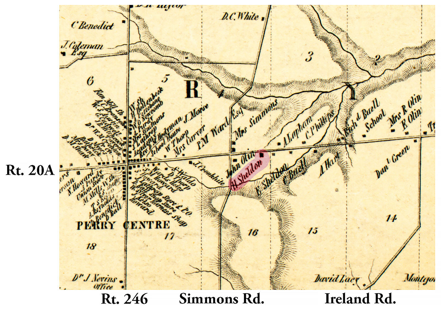 1853 Wyoming County Per-3 Excerpt Map.jpg ¹ | 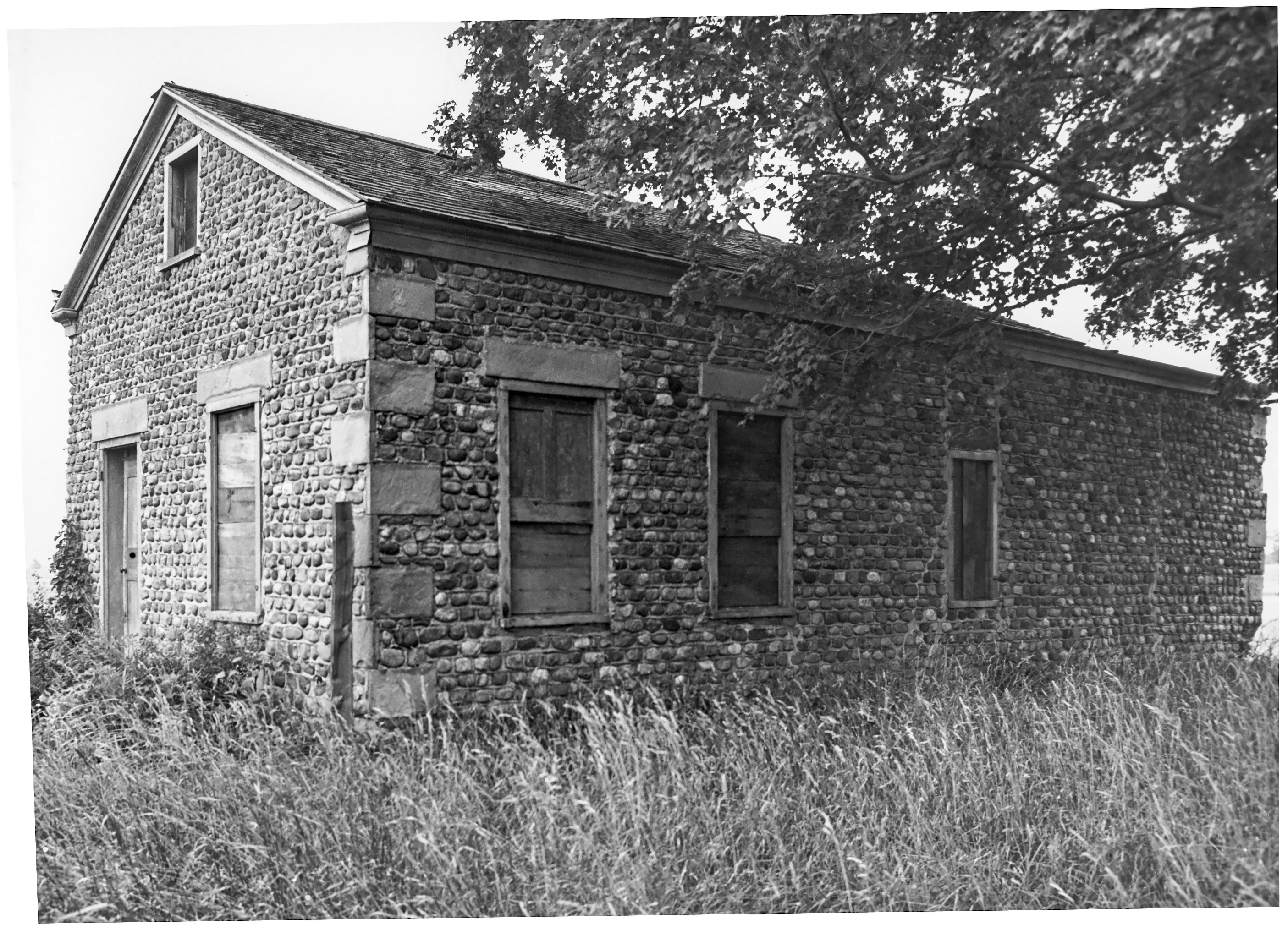 Per-3 Sheldon house 1.jpg ² Wing of Sheldon house, 1950s. Believed to be demolished. |
¹ 1853 Wayne County Per-3 Excerpt Map courtesy Library of Congress.
² Image courtesy Cobblestone Museum.
